 This site's tour
Language
EnglishCurrency
US dollar · $GetYourGuide shows prices in the currency you choose.
Guide · Boat trip
The El Calafate all glaciers tour to Upsala and Spegazzini
A full day on the north arm of Lago Argentino: icebergs in the Upsala channel, the tall Spegazzini front and a walk at its base. How the El Calafate all glaciers tour works, and how it compares.
Check availabilityfrom $243 · cancellation is free
Editorial team, elcalafateglaciertours.comUpdated October 16, 2026about 6 min to read21 sources
What the all glaciers trip covers
The El Calafate all glaciers tour is the name travelers use for the boat trips that sail the north arm of Lago Argentino, away from the crowds at the Perito Moreno. The park authority describes the Todo Glaciares trip as heading for the Upsala, the largest on the route, the Spegazzini, the tallest and one of the most spectacular in the park, and the Heim and Peineta glaciers, with a landing at the Spegazzini refuge, its walkways and viewpoints.1
This site's tour is that trip, run by Solo Patagonia. It is sold from $243, rated 4.52 from 319 reviews, with a live guide in Spanish and English, cancellation at no charge until 24 hours before, and payment that can wait until nearer the date. It is also wheelchair accessible, with ramps and elevators at the Spegazzini base.
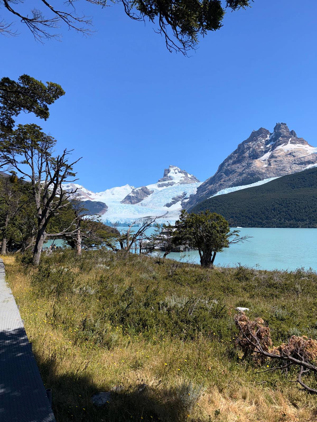
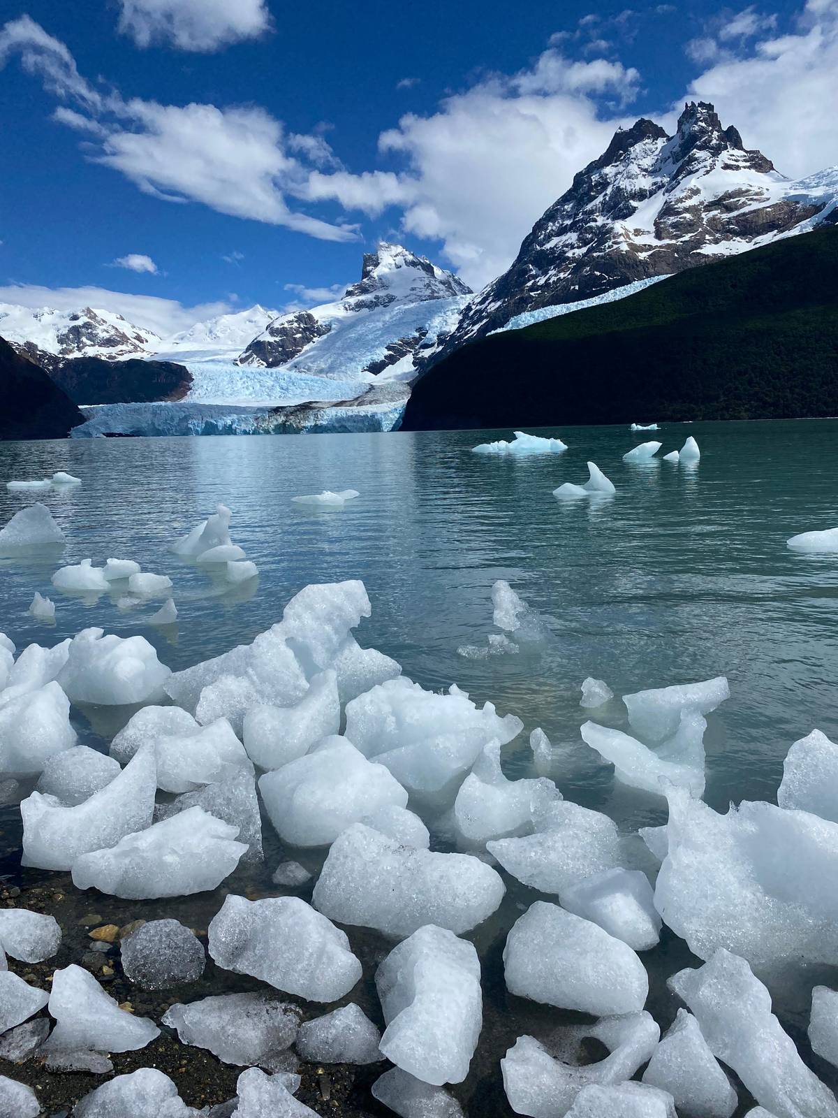
What makes the day special is the variety. The Upsala channel is a field of floating ice in every shade of blue, the Spegazzini rises straight out of the water, and the hanging glaciers on the walls of the fjord-like arm keep appearing around each headland. It is a long day on the water, but rarely a dull one.
Your day
The day on the north arm
-
Morning
Coach to the port
Optional transfer, about 45 minutes each way.
-
Boarding
Puerto Punta Bandera
The port is 47 km from El Calafate.2
-
First leg
Upsala channel
About 105 minutes of sailing among icebergs.
-
Second leg
Spegazzini Glacier
A wall the operator puts at 135 m.4
-
Midday
Spegazzini base
Refuge, walkways and the Agostini viewpoint.
-
Afternoon
Back to the port
About 10 hours door to door.
Getting to Puerto Punta Bandera
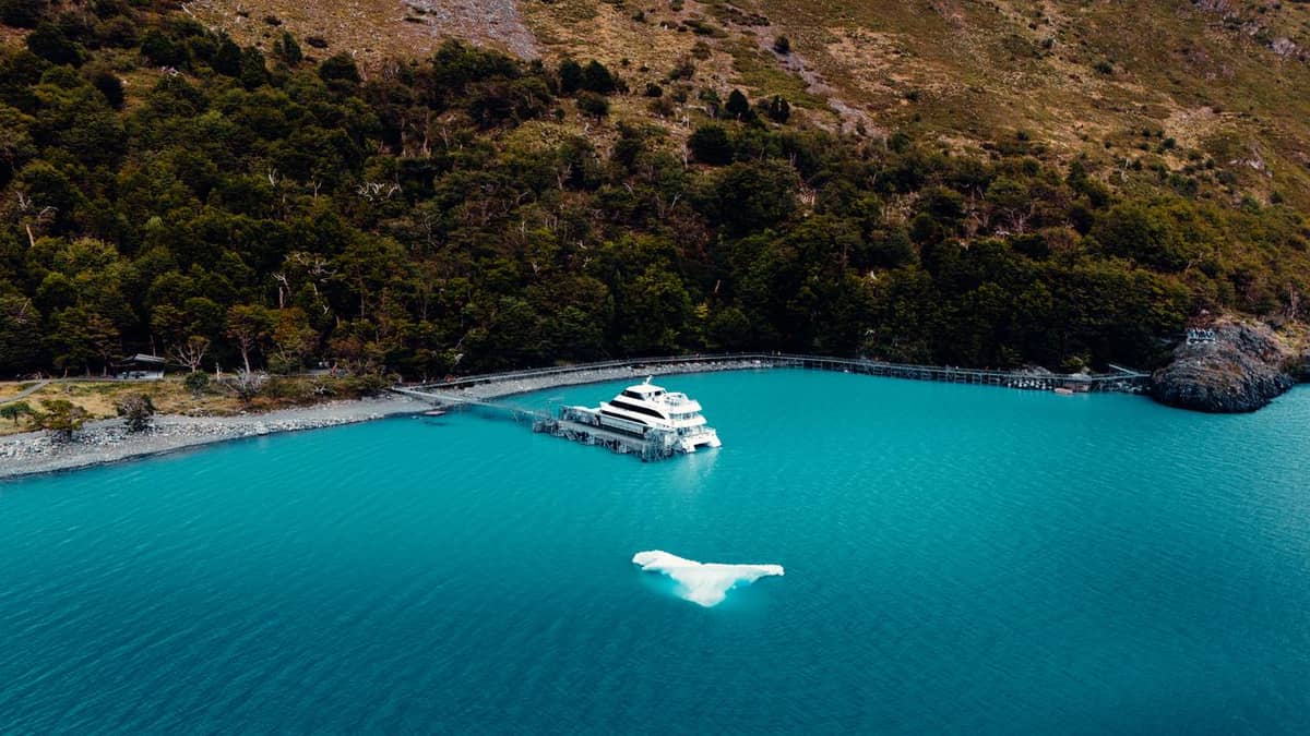
The boats leave from Puerto Punta Bandera, 47 km from El Calafate on the paved RP 11 and RP 8.2 The name goes back to an early exploration of the lake: the Moyano and Moreno expedition named the point where the lake splits into its north and south arms Punta Bandera and left the national flag there.5
This site's tour offers an optional round-trip coach transfer from El Calafate hotels to the port, about 45 minutes each way. If you drive yourself, parking at the port is free. The park authority notes that these boat trips are booked in advance in El Calafate, that a park access fee is paid, and that a transfer to the port can be hired if you have no car.6
Plan your morning around the boarding time in your confirmation. Have breakfast early, put sunscreen on before you leave and keep your park entrance ticket within reach: it is required for this trip and not included in the price. Buying it online before the day saves time at the port.
Length of day
How long the north arm trips take
hours
On the route
The glaciers of the north arm
| Glacier | What the sources say | Seen from |
|---|---|---|
| Upsala | The largest on the route; over 800 km² | Upsala channel |
| Spegazzini | The tallest in the park; 135 m | Boat and base |
| Heim | On the Todo Glaciares route | Boat |
| Peineta | On the Todo Glaciares route | Boat |
| Seco | Named by the park in the south zone | Boat |
Sources: park authority, NASA Earth Observatory and the operator.1748
Compared
North arm trips side by side
This site's tour Most reviewed
 Pickup included
Decision helper
Which north arm trip fits you?
Choose your priority
This site's tour
It includes the Spegazzini base, refuge and walkways.
Glaciers Gourmet
From $225, rated 4.79 from 342 reviews.
Mirador Upsala
From $370 for 11 hours.
Three-glacier cruise
From $280 for 10 hours.
This site's tour
Listed as wheelchair accessible.
This retreat, as well as glacier thinning, is believed by scientists to indicate climate warming in this part of South America.
Through the Upsala channel among the icebergs
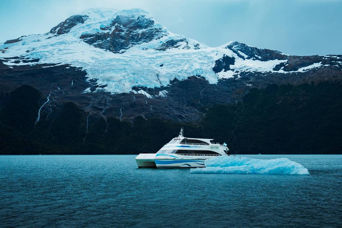
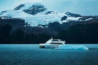
The first long leg sails north through the Upsala channel, about 105 minutes of sailing on this site's tour. This is iceberg country. Blocks calved from the glacier drift down the arm, sculpted by wind and water into arches, towers and smooth whale backs, and the deepest blues appear on overcast days when there is no glare on the ice.
NASA describes the Upsala as the third largest glacier of the Southern Patagonian Ice Field, with an estimated area of over 800 square kilometers.7 In an October 2013 astronaut photograph its ice front was 2.7 kilometers wide.10 Boats keep a safe distance from such a front, and icebergs decide how far up the channel a captain can go on a given day.
The Upsala is also one of the clearest records of glacier change in Patagonia. Landsat images show it retreated 7.2 kilometers between 1986 and 2014.11 Comparing an October 2013 image with older ones, NASA found the front had moved about 3 kilometers upstream, a retreat that scientists link to climate warming in this part of South America.9
Map
El Calafate, Punta Bandera and the glaciers of the north arm
The town, the port where the glacier boats leave, the Upsala and Spegazzini glaciers, and the road north to El Chaltén.
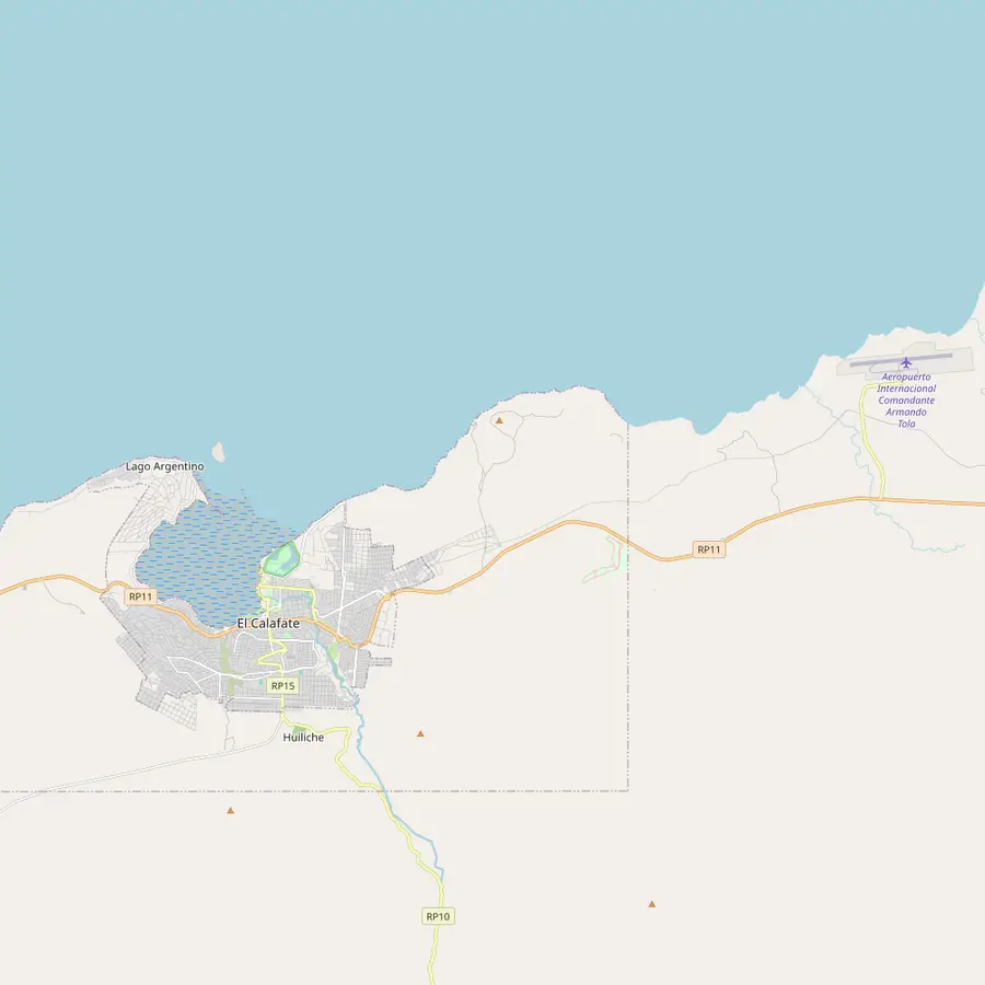 1El Calafate2Laguna Nimez3Glaciarium4Punta Walichu5Airport
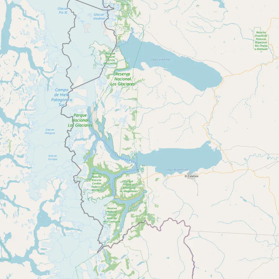 1El Calafate6Puerto Punta Bandera7Spegazzini8Upsala9Estancia Cristina
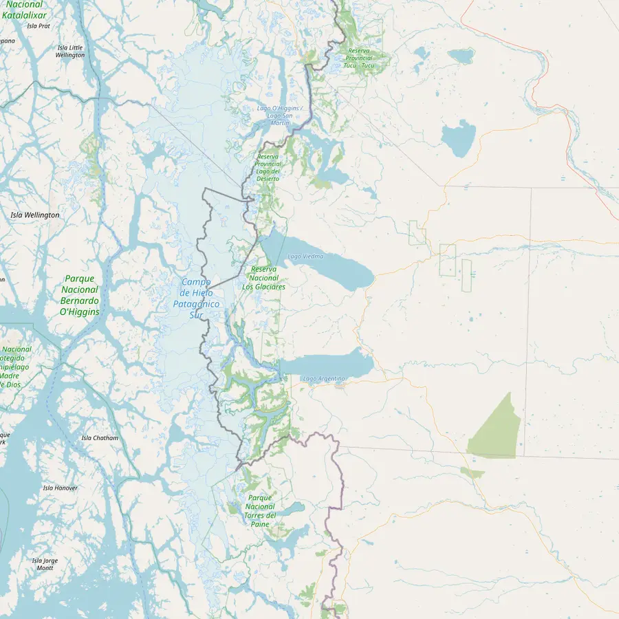 1El Calafate5Airport6Puerto Punta Bandera11Perito Moreno10El Chaltén
- 1El Calafate
Base for the southern zone of the park: 47 km to Puerto Bandera and 80 km to the Perito Moreno by road.12
In Google Maps ↗ - 2Laguna Nimez
A municipal reserve at the edge of town with an interpretive trail.13
In Google Maps ↗ - 3Glaciarium
The ice museum the park lists among the town's sights.13
In Google Maps ↗ - 4Punta Walichu
An archaeological site close to town.13
In Google Maps ↗ - 5Airport
Comandante Armando Tola airport, with daily flights from other parts of Argentina.14
In Google Maps ↗ - 6Puerto Punta Bandera
Where the glacier boats leave: 47 km from El Calafate on paved RP 11 and RP 8.2
In Google Maps ↗ - 7Spegazzini
The park calls it its tallest glacier; the operator gives its height as 135 m.14
In Google Maps ↗ - 8Upsala
The largest glacier on the boat route; its front retreated 7.2 km between 1986 and 2014.111
In Google Maps ↗ - 9Estancia Cristina
A ranch reached by boat through the Upsala arm, with views of the glacier.15
In Google Maps ↗ - 10El Chaltén
Argentina's trekking capital, 220 km from El Calafate on paved road.1617
In Google Maps ↗ - 11Perito Moreno
80 km from El Calafate on RP 11.12
In Google Maps ↗
Checklist
Ready for the boat
01
Before the day
- Buy the national park entrance ticket
- Check the boarding time in your confirmation
- Book the coach transfer if you have no car
02
In your daypack
- Fleece, windproof jacket, hat and gloves
- Sunglasses and sunscreen
- A packed lunch and snacks
- Camera with a charged spare battery
Cost calculator
What the boat day costs your group
Select a boat trip and your head count to get the group's from-price.
People
Total from$486
each from $243
Check availabilityfree cancellationCruise and trek sums start from the lowest GetYourGuide fare per person, converted by the ECB reference rate; the checkout page shows what you will actually pay.
Video
Todo Glaciares Tour in El Calafate | Upsala & Spegazzini Glaciers
Until you tap play, the video stays unloaded.
The Spegazzini front and the base
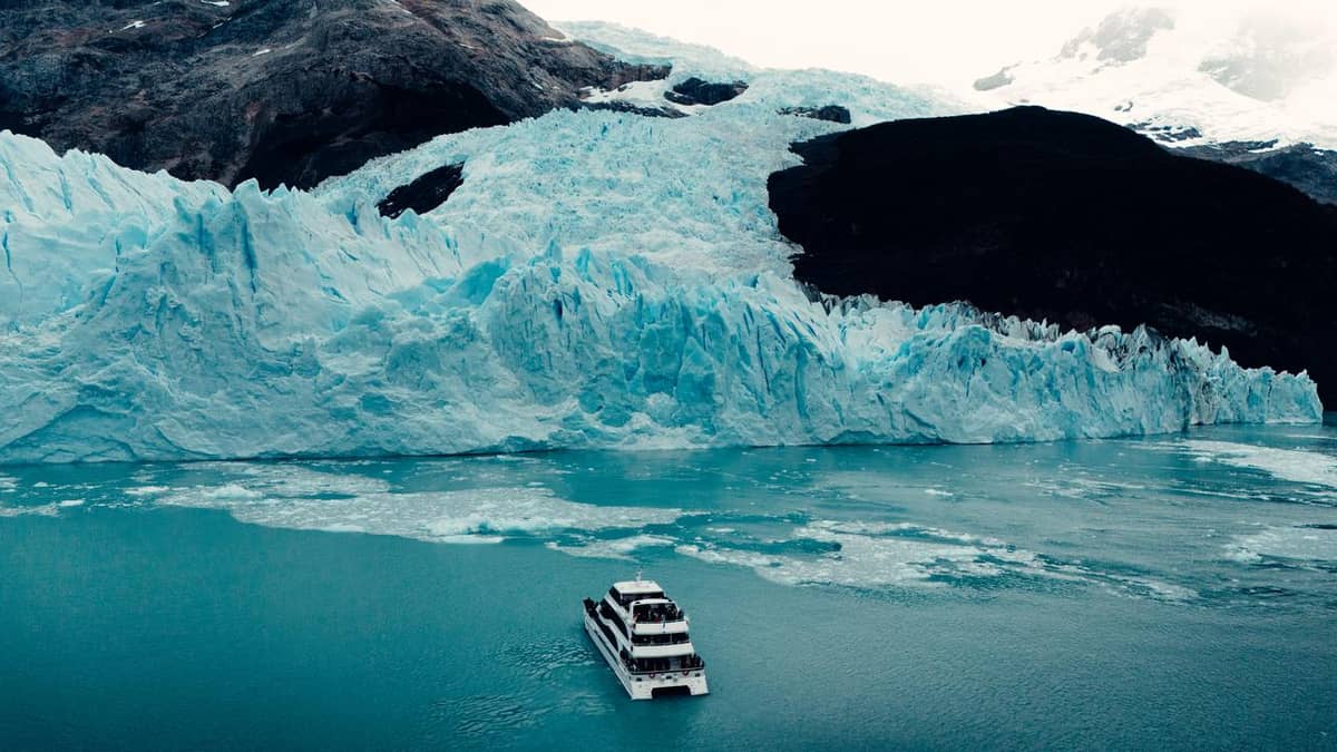
The second leg turns into the Spegazzini arm, again about 105 minutes of sailing on this site's tour. The operator gives the Spegazzini's height as 135 m.4 As the boat slows in front of the wall, the scale is hard to judge until you spot a piece of ice the size of a house breaking off and falling into the lake in what looks like slow motion.
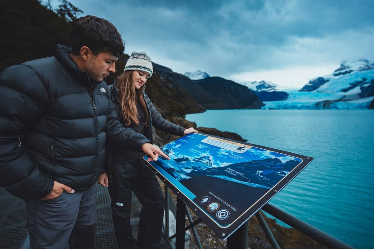
Then the boat lands at the Spegazzini base. The tour includes access to the base and refuge, the walkways at the glacier and the Agostini viewpoint, with time to walk, take photos and eat. The walkways climb gently through southern beech forest to viewpoints over the arm, and you can see the glacier from land, which changes the perspective completely.
This tour leaves meals and drinks to you. Bring a packed lunch, or budget for buying food at the base and on board. Keep a warm layer in your daypack for the walk: shade under the trees and the breeze off the ice make it noticeably cooler than the sunny deck.
How long the day takes
Plan on a full day. This site's tour lists a duration of 10 hours, including the transfers. Solo Patagonia's own schedule gives the sailing from Puerto Punta Bandera as 7 hours, with boarding at 8:30 and the return to port at 16:00, and daily departures from September to April.3
A day this long rewards a little preparation. Sleep well the night before, eat a proper breakfast, and do not book anything ambitious for the evening. A slow dinner in town is the perfect end to the trip, and it gives you time to go through your photographs while the colors of the icebergs are still fresh in your mind.
If you get seasick easily, take precautions before boarding. Lago Argentino is a lake, but the north arm is long and open, and wind can raise a chop. Sitting in the middle of the boat and looking at the horizon helps, and so does stepping outside for fresh air on the sheltered side of the deck.
Weather, wind and the season
The park recommends visiting between September and April.18 In summer the days are long, but wind is part of the deal: west and southwest winds prevail in El Calafate, and in summer they are more frequent and stronger.19 On the boat this mostly means a cold deck rather than a cancelled trip, though captains adjust routes to conditions.
Dress in layers you can add and remove quickly. Thermal underwear, fleece, a shell that blocks both rain and wind, plus warm headwear and gloves, keep you comfortable on deck even on a gray day. The park itself calls a light waterproof windbreaker the best friend of every visitor to Patagonia.20 Sunglasses are essential: light reflected off ice and water is intense.
Overcast weather is not bad news for photographs. Under cloud the icebergs glow with their strongest blues, and the faces of the glaciers show more detail without harsh shadows. Clear days bring snow-white peaks and deep blue water. Either way, keep your camera ready when the boat turns a headland, since views change fast.
Other ways to see the north arm
The Glaciares Gourmet full-day trip sails the north arm toward the Seco, Heim and Spegazzini glaciers, lands at Puesto de las Vacas, views the Upsala from its channel and sails the Canal de los Témpanos to the north wall of the Perito Moreno.21 It is sold from $225 for 8 to 12.5 hours, rated 4.79 from 342 reviews.
Estancia Cristina offers another angle: a boat trip through the Upsala arm with views of the glacier, and day or overnight programs with trekking, horse riding, 4x4 and fishing.15 The Mirador del Glaciar Upsala trip from El Calafate is sold from $370 for 11 hours, rated 4.84 from 21 reviews.
A cruise ship trip that adds the Perito Moreno to the Spegazzini and Upsala is sold from $280 for 10 hours, rated 4.69 from 53 reviews. Compare what each includes: meals, the walk on land and which glacier you see from closest explain most of the price differences.
Book your boat day
Icebergs and the Spegazzini are waiting on the north arm.
Hold a seat today, pay closer to the date, and cancel for free until a day before.


You ask,we answer.
Which glaciers does the trip visit?
Upsala and Spegazzini, plus smaller ones. The park lists the Upsala, Spegazzini, Heim and Peineta on the Todo Glaciares route.1
Where does the boat leave from?
Puerto Punta Bandera. The port is 47 km from El Calafate.2
How long is the day?
About 10 hours. That includes the transfers on this site's tour.
Is the park ticket included?
No. The entrance ticket for Los Glaciares National Park is required and paid separately.
Is lunch included?
No. Food and drinks are not included on this site's tour; bring a packed lunch.
Is it wheelchair accessible?
Yes. The tour is listed as wheelchair accessible, with ramps and elevators at the base.
When does the boat run?
Daily from September to April. That is the operator's own schedule for the sailing.3
How tall is the Spegazzini?
135 m. That is the height the operator gives.4
Sources
What this guide is based on
- 1Administración de Parques Nacionales (Argentina)Actividades↩
- 2Administración de Parques Nacionales (Argentina)Actividades↩
- 3Solo PatagoniaSolo Patagonia↩
- 4Solo PatagoniaSolo Patagonia↩
- 5Secretaría de Turismo de El CalafateHistoria de El Calafate↩
- 6Administración de Parques Nacionales (Argentina)Actividades↩
- 7NASA Earth ObservatoryGlacial Retreat in Argentina↩
- 8Administración de Parques Nacionales (Argentina)Panorámica↩
- 9NASA Earth ObservatoryUpsala Glacier Retreat↩
- 10NASA Earth ObservatoryUpsala Glacier Retreat↩
- 11NASA Scientific Visualization StudioUpsala Glacier Retreat in Argentina↩
- 12Administración de Parques Nacionales (Argentina)Horarios / Cómo llegar↩
- 13Administración de Parques Nacionales (Argentina)Panorámica↩
- 14Administración de Parques Nacionales (Argentina)Horarios / Cómo llegar↩
- 15Administración de Parques Nacionales (Argentina)Actividades↩
- 16Administración de Parques Nacionales (Argentina)Panorámica↩
- 17Administración de Parques Nacionales (Argentina)Horarios / Cómo llegar↩
- 18Administración de Parques Nacionales (Argentina)Panorámica↩
- 19Secretaría de Turismo de El CalafateConsejos Prácticos para El Calafate↩
- 20Administración de Parques Nacionales (Argentina)Panorámica↩
- 21Administración de Parques Nacionales (Argentina)Actividades↩
Keep reading